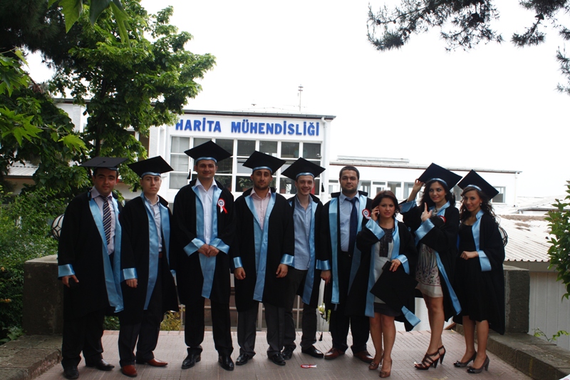
Geomatics Engineering has great importance in Public Works projects, especially rural and urban planning projects. Geographic Information Systems, Global Positioning Systems, Remote Sensing have recently become some of the most important subjects in Geomatics Engineering. The Department aims to educate students into professionals that can use the modern equipments and have expertise in subjects demanded by public and private sector such as surveying, positioning, establishing and using information networks, stakeout surveying, real estate ownerships and relevant legal and technical framework. The curriculum is devised and regularly updated to achieve this purpose.
The department offers master and PhD programmes as well.
AUTUMN(WINTER) AND SPRING(SUMMER) SEMESTER:
*The courses below are available for both semesters.
| COURSE CODE | COURSE TITLE | ECTS | LECTURER |
| JDZL 7311 | INTEGRATION OF REMOTE SENSING AND GIS | 7,5 | PROF.DR.OÄžUZ GÜNGÖR |
| JDZL 5820 | IMAGE PROCESSING IN REMOTE SENSING | 7,5 | PROF.DR.OÄžUZ GÜNGÖR |
| JDZL 7310 | ADVANCED CLASSIFICATION ALGORITHMS | 7,5 | PROF.DR.OÄžUZ GÜNGÖR |
| JDZ 7202 | SPATIAL DATA MODELS AND DATA STRUCTURES FOR GIS | 7,5 | PROF.DR. ÇETÄ°N CÖMERT |
| JDZ 5140 | SPATIAL ANALYSIS IN GEOGRAPHIC INFORMATION SYSTEMS | 7,5 | PROF.DR. ÇETÄ°N CÖMERT |
| JDZ 7191 | MICROGEODETIC NETWORKS | 7,5 | PROF.DR. ERTAN GÖKALP |
| JDZ 5970 | GLOBAL POSITIONING SYSTEM | 7,5 | PROF.DR. ERTAN GÖKALP |
| JDZL 7290 | TIMES SERIES ANALYSIS IN GEODESY | 7,5 | ASSOC. PROF.DR. EMÄ°NE TANIR KAYIKÇI |
| JDZ 5830 | ADVANCED ADJUSTMENT | 7,5 | ASSOC. PROF.DR. EMÄ°NE TANIR KAYIKÇI |
| JDZL 7390 | HYPERSPECTRAL REMOTE SENSING | 7,5 | DR.LECT. ESRA TUNÇ GÖRMÜĹž |
24 April 2018
